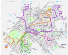
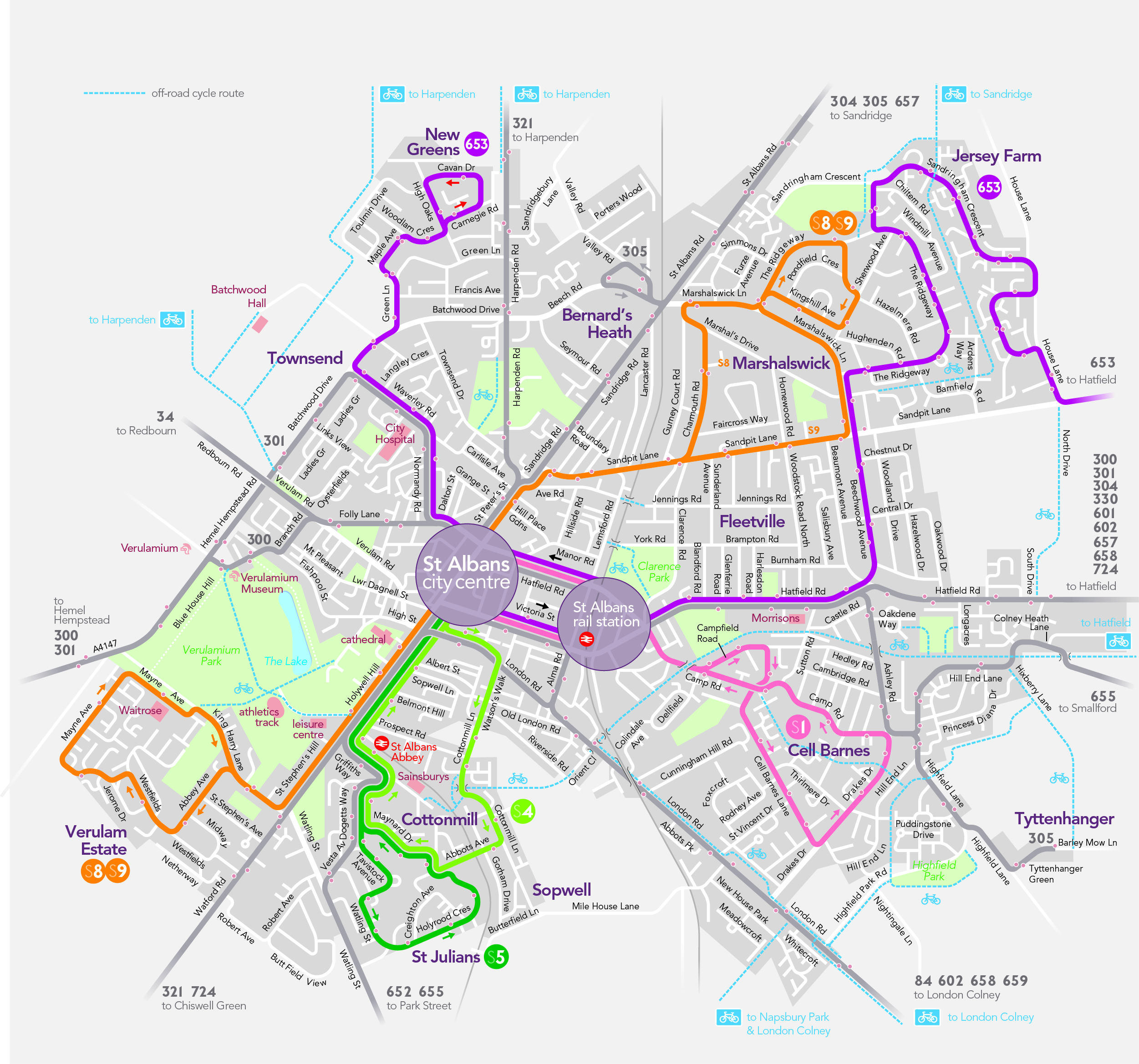
Network St Albans seeks to enhance walking facilities within St Albans and the surrounding area. These improvements include more pedestrian crossings, introducing lower traffic speed limits, and better maintenance of footpaths and walkways.
St Albans City and District Council has produced a Walking Strategy as part of its Green Travel Plan. To find out more on this, plus information on the health benefits of walking, public rights of way and walking for leisure please use the link below.
Within this site there is also information on walks from the railway stations along the Abbey Line, including:
- The Common (Bricket Wood Station – circular walk)
- The Moors (How Wood Station – circular walk)
- The River Ver (Park Street Station to St Albans Abbey Station)
To read more go to to the St Albans webpages for walking and cycling paths.