Network St Albans Partners have been working in conjunction with St Albans Cycle Campaign to help improve conditions for cycling in and around the city. This includes improving cyclists’ safety on the roads, developing off-road cycle paths such as the Alban Way and through Verulamium Park, and raising awareness of the benefits cycling provides not only to the environment but also to health. One of the Network St Albans partners, Hertfordshire County Council, has commissioned a St Albans Cycle Study to make recommendations on how to improve the cycle network in the city.
Where to cycle?
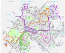
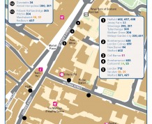
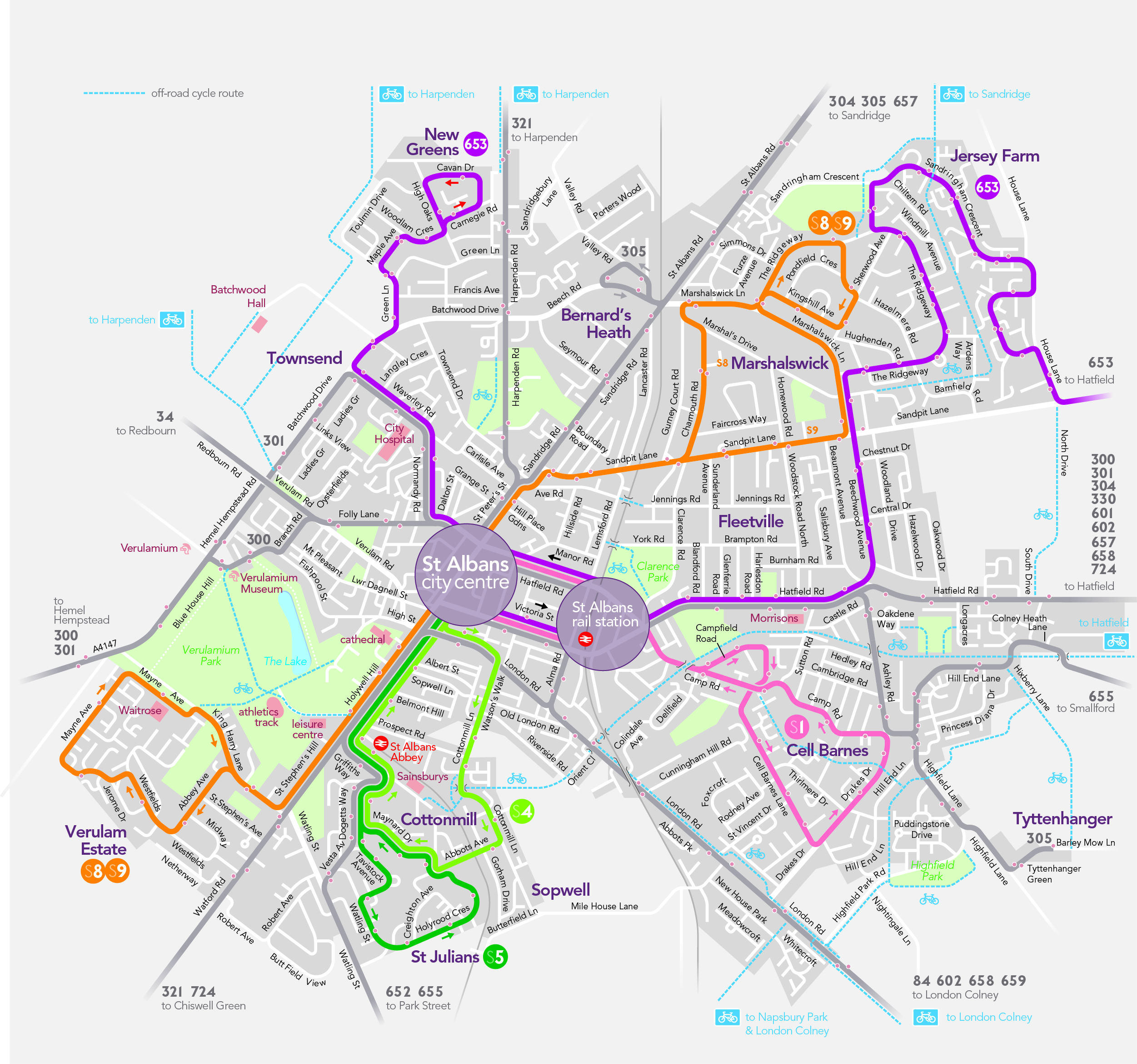
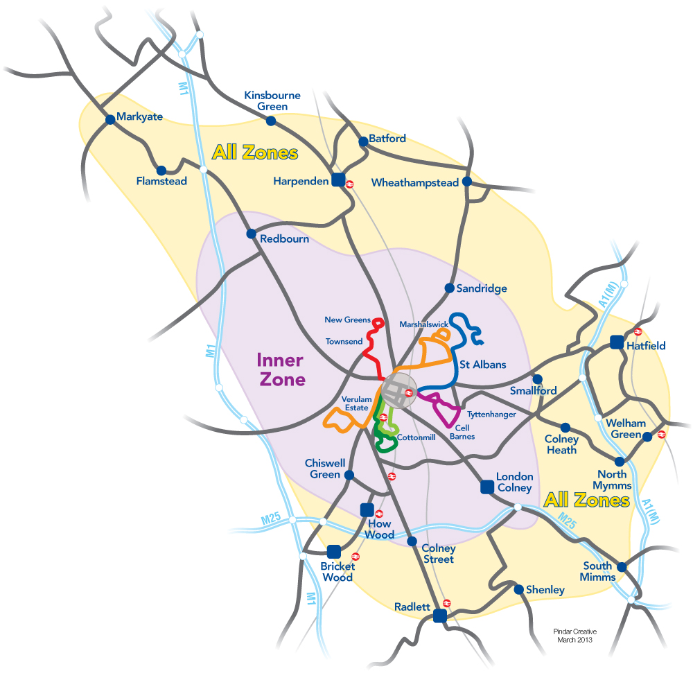
A district wide cycle map is available to help both new and experienced cyclists to plan their routes across the whole St Albans District. The map shows a variety of routes such as roads suggested by local cyclists, off-road traffic free routes, on-road cycle lanes and shared pavements. In addition to the district wide cycle map, there are also individual maps available for specific off-road traffic free routes including the Alban Way (St Albans to Hatfield), Nickey Line (Hemel Hempstead to Harpenden) and Ayot Greenway (Wheathampstead to Welwyn Garden City). Copies of these maps can be collected at the Council Offices or the Tourist Information Office.
Cycle journeys can also be planned using the St Albans journey planner
Why cycle?
- as fast as a car door to door across town – faster in the rush hour
- consistent journey times
- good for your health
- free parking
- no queuing to park
- no road tax and no fuel bills
- twenty bicycles can be parked in the same space taken up by one car
- the carbon embedded in making a bicycle is only a fraction compared to making a car
- bicycles produce no air or noise pollution
St Albans Cycle Campaign’s aims:
- To encourage cycle usage in St Albans District
- To promote cycling to play a more significant role in a balanced transport system for the St Albans District
- To support, assist and influence to local authorities responsible for managing the transport system in the St Albans District
For information on cycle clubs, cycle dealers and repair centers, local cycle news and events and how to get involved please visit the St Albans Cycle Campaign website by clicking here